Vancouver's Kits Point neighbourhood is set to undergo significant transportation upgrades as the City prepares for the transformative Sen̓áḵw development. Designed to improve safety and connectivity for people walking, biking, and rolling, these changes aim to support future population growth while preserving neighbourhood livability.
A New Era for Kits Point Mobility
The Kits Point area is about to become a model for multimodal urban design. In response to the upcoming Sen̓áḵw development — a landmark, car-lite, rental-focused project by the Squamish Nation — the City of Vancouver is rolling out a phased package of street upgrades that prioritize active transportation and safety improvements.
Slated to begin in late 2025, these infrastructure changes will reshape key streets in Kits Point to align with the city's long-term goals under Transportation 2040 and its Reconciliation Framework.
About the Sen̓áḵw Development
Sen̓áḵw is an ambitious, 10.5-acre master-planned community on Squamish Nation reserve lands adjacent to Vanier Park. The project is being developed outside of Vancouver’s municipal zoning authority, with a focus on purpose-built rental housing—6,000 homes in total.
Its design emphasizes transit access, cycling, and walkability, aiming to create a high-density, sustainable community with minimal reliance on personal vehicles. To support this, the Squamish Nation and the City of Vancouver signed a Services Agreement in May 2022, ensuring the City will deliver essential municipal services—including emergency response, utilities, and transportation upgrades.
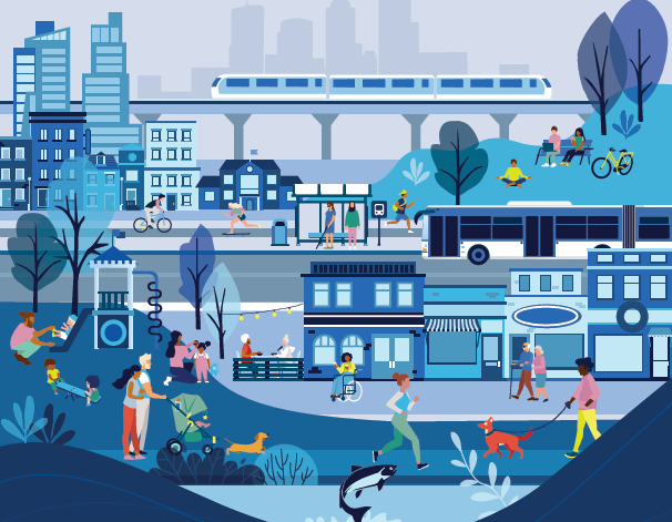
*Photo by City of Vancouver
What’s Changing in Kits Point
The first round of improvements will focus on Greer Avenue, Cypress Street, Chestnut Street, and Cornwall Avenue, and are designed to enhance safety and comfort for all users:
Greer Avenue will see wider sidewalks and a two-way bike lane on its south side.
Cypress Street will gain one-way bike lanes in both directions, extended north to Greer Avenue.
Chestnut Street will feature a two-way protected bike lane on its east side to Park Lane.
Cornwall Avenue and Cypress Street will become a protected intersection, with pedestrian islands and dedicated signal phases to manage vehicle turning movements.
These interventions aim to maintain vehicle access while rebalancing the streetscape to better serve the anticipated increase in walking and cycling trips.
Listening to the Community
Public engagement was a key component of the planning process. Between February and March 2023, the City hosted virtual sessions, surveys, and email outreach, gathering over 350 pieces of public feedback. Among the top concerns were:
Loss of parking
Increased vehicle traffic
Complicated circulation for drivers
At the same time, residents expressed strong support for:
Safer infrastructure for walking, biking, and rolling
Sustainability enhancements
Expanded parking management strategies
In response, the City refined its designs to better address these issues. For instance, a layby for short-term loading will be added to Cypress Street, and raised intersections will be built to reduce vehicle speeds.
Addressing Specific Street Concerns
Community members also voiced street-specific suggestions, and many of these are being incorporated:
On Cypress Street, a raised crossing and signal timing adjustments will improve safety at the driveway near Cornwall Avenue.
On Greer Avenue, new street trees and additional space for active transportation are being prioritized.
On Chestnut Street, the request to convert the street to full two-way access was declined due to space constraints, but it will remain accessible for large vehicles and emergency responders.
Public bike share stations are now planned for Greer Ave, Chestnut St, and Cornwall Ave.
A parking study is also underway, set to inform a consultation in late 2024 or early 2025.
Why This Matters
Kits Point is more than just a residential pocket—it’s a regional destination, home to museums, the beach, and green space. Its current population of roughly 1,500 is expected to grow significantly once Sen̓áḵw is complete.
By investing in safe, multimodal connections now, the City hopes to ensure that new residents and long-time locals alike can move through the area easily and sustainably. The upgrades will not only enhance access to Kits Point’s cultural destinations but also buffer the neighbourhood from potential traffic impacts tied to rapid development.
What’s Next
With designs finalized and feedback incorporated, construction of the new infrastructure is planned for late 2025. In the meantime, City staff will continue to monitor traffic operations, engage with stakeholders, and prepare for the upcoming parking policy review.
Curious how these transportation changes could shape the future of Kits Point—and the broader West Side? We’re watching this closely to keep our clients informed every step of the way. Want to stay in the loop?